Map of Angouleme

La Giraudiere Experience France South West France Maps of South West France Map of Angouleme

Maps from the region of Nouvelle Aquitaine in South West of France

Angoulême is a city and a commune, it is the capital of the Charente department, in the Nouvelle-Aquitaine region of South West France. The inhabitants of the commune are known as Angoumoisins or Angoumoisines. The city sits up high above the Charente River and is well worth a visit.

Angouleme City in the department of The Charente


Map of Angouleme
Map showing Distance Angouleme to La Giraudiere. Angouleme is 51 kilometers from La Giraudiere if travelling by car. There are several routes available to you. For visitors at La Giraudiere who can make use of either the train service from Chalais station or there is a bus service from Brossac Village
Map of BrossacMap of ChalaisMap of Barbezieux
Map showing Airports in
South West France
Map of BordeauxMaps
South West France
Map of AngoulemeMap Nouvelle
Aquitaine
Map of
Aubeterre Sur Dronne
Location Map
La Giraudiere
Above are Links to a selection of Google interactive Maps of South West France

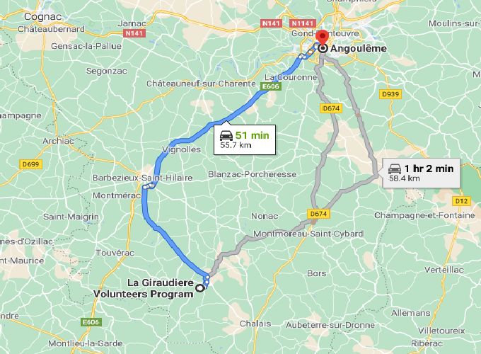
These maps and webpages have been produced and put in place by volunteers and interns who have taken part in the different programs at La Giraudiere. At the top of this page, you will find links to our different programs and how to contact us and links for more information about us. If you are looking for a new way to experience France then for sure we can oblige.

South West France

Accommodation in South West FranceFerry & Sea Crossings South West FranceRail & Train Connections South West FranceCar Hire & Van Renal South West France
Images of South West FranceAirports South West FranceRoads Routes Driving South West FranceMaps of South West France
Weather South West FranceGolf in South West FranceProperty South West FranceHotels South West France

South West France

Experience France from Within